Mobile Mapping Systems

Mobile Mapping Systems
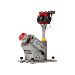
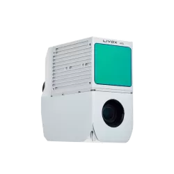
Alpha3D
Advanced system: laser scanner, HDR camera, GNSS, inertial tech...
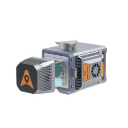
AlphaAir 10
Advanced LiDAR+RGB aerial survey system...
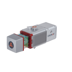
AlphaAir 1400
Airborne reality capture LiDAR system with 1430m range...
AlphaAir 2400
Airborne reality capture LiDAR system with 2150m range...
AlphaAir 450
Airborne LiDAR system with 3d scanner, camera, IMU & GNSS...
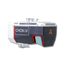
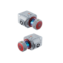
AlphaUni 20
Flexible & efficient LiDAR solution...
AlphaUni 300
Accurate LiDAR with miniVUX family & CHCNAV technology onboard...
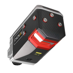
AlphaUni 900/1300
High-end, long-range LiDAR solutions, multi-platform setup...
Showing 1 to 8 of 8 (1 Pages)
